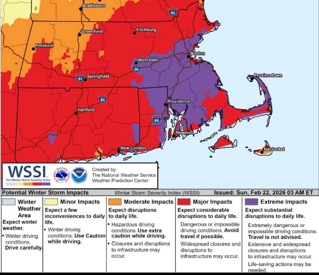
Our Emergency Manageemnt Team participated in this afternoon’s National Weather Service briefing. This briefing is similar to yesterday’s information with a few changes:
The Petersham area is now in a Blizzard Warning.
Projected winds for our area have increased to 30 mph sustained wind speed at the peak of the storm with wind gusts of 55 mph.
Although we are still in the portion of the map that says 12 to 18 inches of snow, the 18 to 24” section of the map has expanded further west, where we are now on the edge of the two forecast sections. That means we could see higher accumulation than the 12 to 18” if the storm track shifts further.
Snow should start in the Petersham area mid-evening tonight (Sunday) and move out of the area around dusk on Monday. The heaviest snowfall rates of 1-2” per hour (for us) and the potential for briefly up to 3” per hour will be between 4 am and noon on Monday.
Difficult to impossible travel conditions expected during the height of the storm. Blizzard conditions and near zero visibility at times with NE wind gusts of 45 to 55 mph at times. If at all possible, please stay off the roads and let our snow removal crews work best they can.